
Eastern Shore Fishing: Ocean City to the Choptank
Last verified:
By BCRods
Quick facts
- Best for
- Coast and surf, plus free-access piers and bulkheads on the Choptank, Nanticoke and Wicomico
- Free-fishing sites
- Listed by DNR in each county; free registration still required
- Millponds
- Nine Eastern Shore lakes and ponds listed with acreage, from 6 to 108 acres
- Rod fit
- Light spinning for ponds and panfish; longer rod for the coast
Rules snapshot
Maryland fishing license fees
Tidal (Chesapeake Bay and Coastal Sport Fishing License): resident $15 a year or $6 for seven days; non-resident $22.50 a year or $12 for seven days. Boat license: $50 resident, $100 non-resident. Non-tidal: resident $32 a year or $16 for seven days; non-resident $55 a year, or the fee your home state charges Maryland anglers if that is higher. Licenses are valid 365 days from purchase. Anglers under 16 do not need a license. · Maryland DNR license page, checked November 1, 2026
Saltwater Angler Registration
Free. Anglers in the Atlantic Ocean, coastal bays, Chesapeake Bay and tidal tributaries must be registered unless they hold a tidal license or are exempt. Exempt: anglers under 16, anglers fishing with a licensed guide or from a licensed commercial fishing pier, and anglers fishing on a free fishing day. Register at mdoutdoors.maryland.gov or a DNR service center. · Maryland DNR license page, checked November 1, 2026
License-free fishing areas near Ocean City
DNR lists two Ocean City sites: the Chicago Avenue bulkhead between 2nd and 4th Streets, and the town-owned pier and park at Northside Park (125th Street). You do not need a license or stamp there, but you still need the free Saltwater Angler Registration and must follow all other fishing rules. · Maryland DNR license-free fishing areas, checked November 1, 2026
Tuckahoe Lake (Caroline and Queen Anne's counties)
DNR's 2026 public lakes list gives the access as Route 404 east to Route 480 to Eveland Road to Crouse Mill Road, and lists the lake at 43 acres. · 2026 Maryland Guide to Fishing and Crabbing, checked November 1, 2026
Fish consumption advisories
Fish consumption advisories apply on many Maryland waters. Check the Maryland Department of the Environment advisory list before you keep fish. Maryland Department of the Environment fish consumption advisories
This is not legal advice. Rules change, so confirm with the state agency before you fish.
Maryland’s Eastern Shore runs from the Chesapeake Bay side across to the Atlantic, and it sits right next to Sussex County, Delaware. This guide ties together the coast, the national seashore, the free fishing spots on the Choptank and the small lakes and millponds that DNR lists in its 2026 guide. Facts that we could not confirm are left out and noted.
Ocean City and Assateague
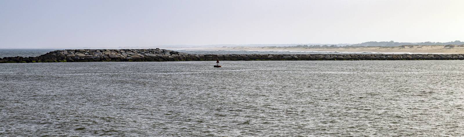
The coast is the headline fishing on this side of the state, and each part of it has its own page.
- Ocean City fishing covers the inlet, the bridge and the piers, the city’s summer beach rule and the free fishing areas.
- Assateague surf fishing covers the National Park Service rules, the over-sand vehicle permit and the park’s gear guidance.
Both sit under the same state rules for the Atlantic Ocean and coastal bays. The numbers are in the rules snapshot below and in the Maryland rules guide.
Free fishing spots on the Eastern Shore
DNR’s 2026 guide lists license-free fishing areas, which means you do not need a license or stamp but do need the free Maryland Saltwater Angler Registration and must follow all other fishing rules. On the Eastern Shore the list includes:
- Caroline County: the pier at G. Daniel Crouse Memorial Park in Denton, on the east side of the Choptank River north of the Route 404 bridge; Federalsburg Municipal Park; and Greensboro Waterfront Park, upstream of the Sunset Avenue bridge on the Choptank.
- Wicomico County: the pier and town dock off Ferry Street in Sharptown on the Nanticoke River, a city-owned bulkhead on the Wicomico River in Salisbury between Mill Street and Division Street, and Tyaskin Park on Wetipquin Creek.
- Somerset County: a bulkhead area on Daugherty Creek in Janes Island State Park.
- Worcester County: Pocomoke City’s docks, Snow Hill’s riverfront property on the Pocomoke River and the two Ocean City sites on Chicago Avenue and at Northside Park.
Boundaries and access can change, so check DNR’s license-free area page before you go.
The Choptank River
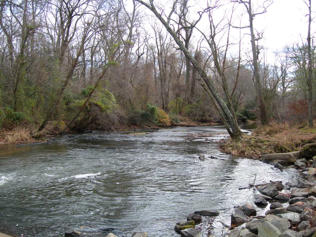
The Choptank rises in Delaware and flows through Caroline County to the Chesapeake. The Denton, Federalsburg and Greensboro sites above are the easy places to reach the river. We did not read a DNR access list or a recent survey for the Choptank, so we are not describing specific runs or catches. For tidal limits and spawning-season closures on Eastern Shore rivers, check the current DNR striped bass regulations and the tidal table in the 2026 guide.
Tuckahoe Lake and the millponds
DNR’s lakes and ponds list gives an acreage for each water. On the Eastern Shore it includes:
| Water | County | Listed acres |
|---|---|---|
| Chambers Lake (Federalsburg) | Caroline | 6 |
| Smithville Lake | Caroline | 40 |
| Tuckahoe Lake | Queen Anne’s | 43 |
| Unicorn Lake | Queen Anne’s | 45 |
| Wye Mills Community Lake | Queen Anne’s | 50 |
| Uriville Community Lake | Kent | 35 |
| Leonards Mill Lake | Wicomico | 30 |
| Johnsons Lake | Wicomico | 108 |
| Newtown Park Pond | Worcester | 7 |
Tuckahoe Lake’s directions in the guide are Route 404 east to Route 480 to Eveland Road to Crouse Mill Road. For the rest, the guide gives a road location only. We did not confirm the fish species, boating rules or hours of these waters, so look at DNR’s Lakes and Ponds map for survey data before you go.
Rules for the freshwater ponds
The millponds and lakes in the table are non-tidal water, so Maryland’s non-tidal limits apply. The rules snapshot lists them. In short, largemouth and smallmouth bass may be kept from June 16 to the last day of February with a 12 inch minimum and a combined limit of 5 a day, and catch and release is permitted at all times. Chain pickerel need to be 14 inches with a limit of 5, crappie have a limit of 15 and channel catfish a limit of 5 a day. Bass, pickerel and several other predators cannot be used as bait. Tidal tributaries such as the lower Choptank follow the tidal table instead: white perch have no minimum size on hook and line and no creel limit, and yellow perch must be 9 inches with a limit of 5 a day.
Reading the tidal and non-tidal line
Which license you need depends on which side of a dividing line you stand. DNR’s guide lists dividing lines creek by creek and county by county, usually at a bridge or dam, and fishing downstream of the listed point follows tidal rules. Check the exact point for the water you plan to fish before you assume a license.
Tackle for the Eastern Shore
Most of these waters are small and shallow. A light spinning rod with 4 to 8 pound line handles panfish, and a medium rod suits bass and pickerel in cover. A shore angler at the coast will want a longer rod for the bridge, bulkhead or surf. If you fish both, two rods is a sensible plan.
Licenses and fish advisories
Which license you need depends on whether the water is tidal or non-tidal: DNR’s guide has a Tidal/Non-tidal Dividing Lines section. See the rules snapshot for the fees we verified. We did not read Maryland’s consumption advisory tables, so check the Maryland Department of the Environment’s list before you keep fish.
From the Delaware side
The Choptank begins in Delaware, and the Maryland coast is a short drive from Sussex County. Compare this guide with the Delaware surf fishing and Inland Bays pages before you cross the line, because license, size and season rules differ by state.
More fishing guides for Maryland
Frequently asked questions
Where can I fish on the Eastern Shore without a license? +
DNR lists license-free areas in each county, including Denton, Federalsburg and Greensboro on the Choptank, Sharptown and Salisbury, and two sites in Ocean City. You still need the free Saltwater Angler Registration.
How big is Tuckahoe Lake? +
DNR's 2026 lakes and ponds list gives Tuckahoe Lake as 43 acres.
Sources
- 2026 Maryland Guide to Fishing and Crabbing (PDF) (accessed November 1, 2026)
- Maryland DNR license-free fishing areas (accessed November 1, 2026)
- Maryland DNR fishing license page (accessed November 1, 2026)
- NPS Assateague over-sand vehicles (accessed November 1, 2026)
- City of Ocean City: surf fishing (accessed November 1, 2026)
- Maryland Atlantic seasons, sizes and limits (accessed November 1, 2026)